

The Portuguese Sea and Atmosphere Institute (IPMA) is forecasting rain, sometimes heavy, and maximum temperatures of up to 18 degrees Celsius from today until Tuesday in mainland Portugal.
In a statement, the IPMA said that the weather will be conditioned by the successive passage of frontal swells associated with depressions moving across the Atlantic towards Europe.
This situation is characterized by the occurrence of precipitation, sometimes heavy, alternating with periods when it is weaker or even absent.
According to the IPMA, rain is expected throughout the country until Tuesday, sometimes heavy in the north and center.
“However, due to the establishment of an anticyclone between the Canary Islands archipelago and the Gulf of Cadiz, precipitation in Baixo Alentejo and the Algarve on the 13th [Tuesday] will be unlikely,” the statement said.
According to the IPMA, the temperature should be close to the average values for the month of February or slightly above.
The maximum temperature will vary between 12 and 18 degrees, with between 8 and 12 degrees in the north and central interior, and the minimum between 0 and 8 degrees in the north and central interior and between 11 and 15 degrees in the rest of the territory.
As far as the wind is concerned, it will blow from the south quadrant, temporarily from the west quadrant, being more intense today and Saturday, especially on the coast and in the highlands.
According to the Institute, snow showers are expected in the north and central regions until late Sunday morning, initially in the highest points of the Serra da Estrela mountain range, gradually falling to 800/1000 meters.
During this period, sea waves are also expected to increase on the coast, especially on the west coast where waves from the western quadrant could reach 5 to 5.5 meters in height.
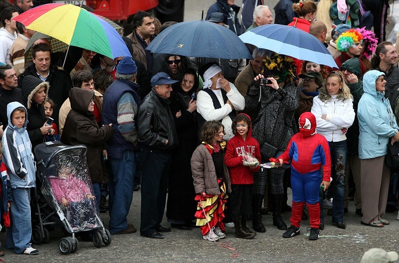
Due to the bad weather that has been affecting the mainland since Thursday, some of the events planned for Carnival have been canceled.
As for the Azores archipelago, the weather will be influenced by the approach and passage of successive frontal systems.
Thus, from the end of today and throughout Saturday, the passage of a frontal system associated with a depression to the northwest will cause periods of rain, turning to showers, starting with the Western Group (Flores and Corvo), then moving on to the Central Group (Pico, Faial, Graciosa, São Jorge and Terceira) and the Eastern Group (São Miguel and Santa Maria).
A moderate to fresh north-westerly wind is also forecast, with very fresh to strong winds in the eastern group.
From the end of the day on Monday and into Tuesday, the approach and passage of a new frontal system will cause periods of rain, turning to showers.
Maximum temperatures will vary between a minimum of 13 degrees and a maximum of 19 degrees.
In Madeira, the weather until Tuesday will be conditioned by the gradual establishment of an anticyclone to the southwest of the Canary Islands, which is moving northeastwards after the influence of the frontal swell associated with the Karlotta depression today.
The forecast is for rain, which is more likely today and Saturday, and wind from the west or northwest, sometimes strong and gusty.
Maximum temperatures will vary between 18 and 24 degrees, with lower temperatures in the highlands.
In both Madeira and the Azores, the Carnival programs remain as announced.