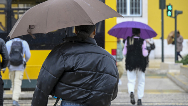
At a press conference at the National Emergency and Civil Protection Authority (ANEPC) headquarters in Carnaxide, Oeiras, the national operations deputy Alexandre Penha provided recommendations for adapting behaviors to the bad weather forecasts. He asked “the population to take extra care and implement some containment measures during the next few days, especially before the precipitation arrives.”
The regions of concern are above the Mondego river line, between Coimbra and Serra da Estrela, which includes the districts most affected by the recent large fires, where ANEPC is focusing its main concerns.
“We are currently adjusting our resources to ensure that the regions that may be most affected have reinforced response capabilities for these situations,” said Alexandre Penha regarding the adaptation of emergency response to the forecasts for the coming days.
The most critical period will be between 00:00 on Wednesday and 23:59 on the 26th, with the districts at highest risk for heavy rainfall predictions being Viana do Castelo, Braga, Porto, Vila Real, Aveiro, Viseu, and Coimbra.
Civil Protection asks the population to adopt measures such as cleaning drainage systems and avoiding fire-affected areas “where there is a higher probability of landslides.” However, they note that immediately after the fires, the Institute for Nature Conservation and Forests (ICNF) began emergency stabilization work.
People are also asked to pay attention to road traffic and the effects of the first rains after a dry season, calling for “defensive driving.”
Strong wind forecasts advise avoiding areas with a higher probability of falling objects, and again, burned areas “due to the fragility of the forest and the possibility of falling tree branches.”
Civil Protection also warns of possible flash floods in urban areas.
According to a statement from the Portuguese Institute of Sea and Atmosphere (IPMA), accumulated precipitation values between the 24th and 26th “may reach between 100 to 150 mm in Minho and Douro Litoral and in the mountains of Vila Real, Viseu, Aveiro, and Coimbra districts, and between 70 to 120 mm in the rest of the coast north of Cabo Mondego, with most of the precipitation concentrated between the afternoon of the 25th and late morning of the 26th.”
The IPMA has issued a yellow warning for six mainland districts due to the forecast of strong winds, after previously placing the same territories under an orange warning due to rain.
The orange warning, the second on a scale of three, is issued by IPMA whenever there is a “moderate to high-risk weather situation,” and yellow when there is a “risk situation for certain activities dependent on the weather situation.”


